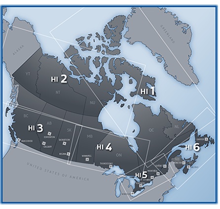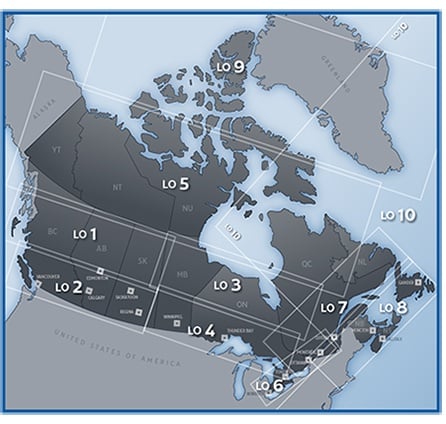


Enroute Low and High Altitude charts provide aeronautical information for instrument navigation in the low and high airway structure of the Canadian Domestic Airspace, the airspace over foreign territory and international waters in which Canada accepts responsibility for the provision of air traffic services and other areas required for military use. The primary purpose of Enroute charts is to depict radio navigation data to provide rapid and precise location and identification of information requisite to radio instrument navigation. Each Chart Sold separately.
A series of 16 charts provides complete coverage of Canada. Information on Quebec and the National Capital Region is presented in bilingual format. The charts are printed back-to-back on eight sheets and are updated every 56 days